
Environmental & Natural Resource Management
Drone remote sensing, AI inspection, and emergency coordination for water, forests, agriculture, and urban environments
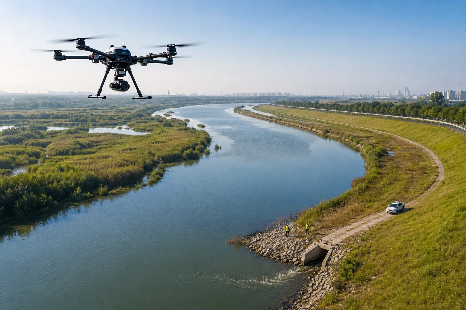
Why environmental governance needs low-altitude sensing
Environmental issues often appear across large, complex areas that are difficult to cover continuously on foot. Riverbanks, forests, mines, farmland, and construction sites need a more frequent and flexible inspection layer so that one-off checks become an accumulating operational dataset.
Hanxing connects drones, payloads, AI vision, geospatial data, and dispatch into one workflow: aerial collection, assisted identification, issue verification, response, and review.
Four environmental capabilities
Wide-area remote sensing
Plan missions by area and objective, then collect georeferenced, time-stamped data with visual, thermal, mapping, or environmental payloads.
AI-assisted issue review
Use rules for smoke, hotspots, floating debris, shoreline change, vegetation change, and suspected anomalies to help teams focus on issues instead of watching raw video.
Traceable response
Connect an anomaly to work orders, responsible areas, field photos, and recheck results so the remediation process remains auditable.
Cross-department coordination
Bring environmental, forestry, water, emergency, and local-management teams into the same mission and data workflow for both routine patrols and incidents.
Reference scope and boundaries
The structure of this page is informed by public environmental-drone application pages and Hanxing materials on forest-fire monitoring, agricultural drones, and unified flight operations. Public cases illustrate application patterns only and are not presented as Hanxing delivery claims; payloads, models, and compliance requirements must be confirmed for each project.
System & Scenario Evidence
From Field Problems to Executable Scenarios
Platforms, equipment, and data are organized around real workflows, so every capability maps to a concrete operation and delivery outcome.
Turn one flight into a prioritized watershed worklist
For rivers, lakes, wetlands, and drinking-water source areas, drones collect current shoreline imagery and help identify suspected discharge points, shoreline change, floating debris, and other anomalies. Results can be organized by reach, time, and issue type to support a traceable inspect-remediate-review loop.
- Discharge-point inspection
- Shoreline and surface change
- Suspected source location
- Evidence-based recheck
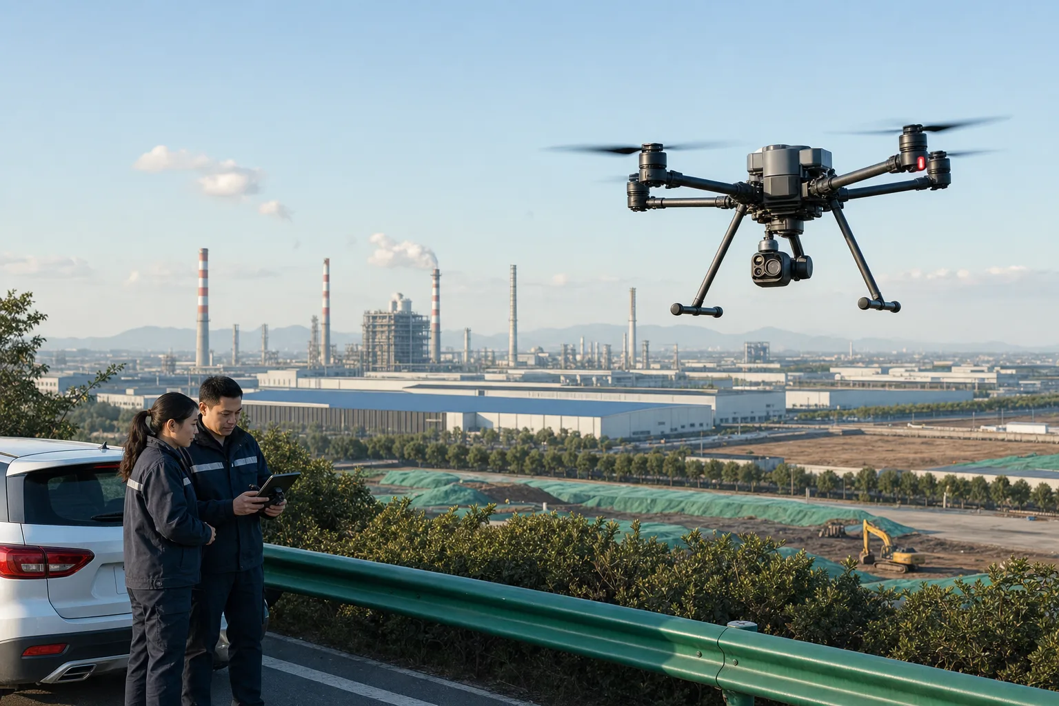
Make high-frequency inspection traceable
For industrial parks, construction sites, mines, and urban dust-control areas, drones can carry visual, thermal, or gas-sensing payloads for scheduled and ad-hoc missions. Imagery, coordinates, timestamps, and response records stay connected for enforcement and remediation reviews.
- Industrial-park inspection
- Construction dust review
- Thermal and emission clues
- Evidence-chain management
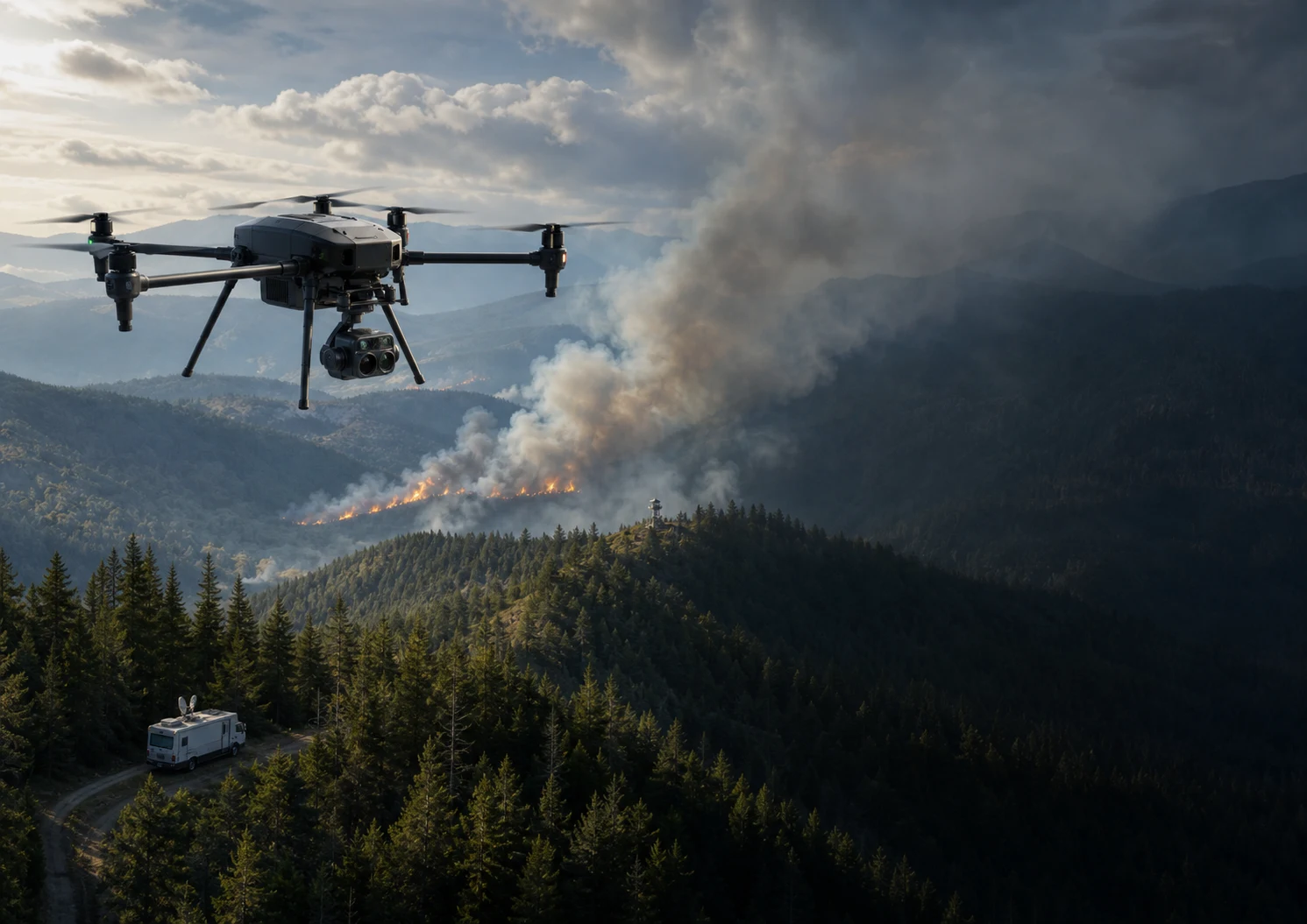
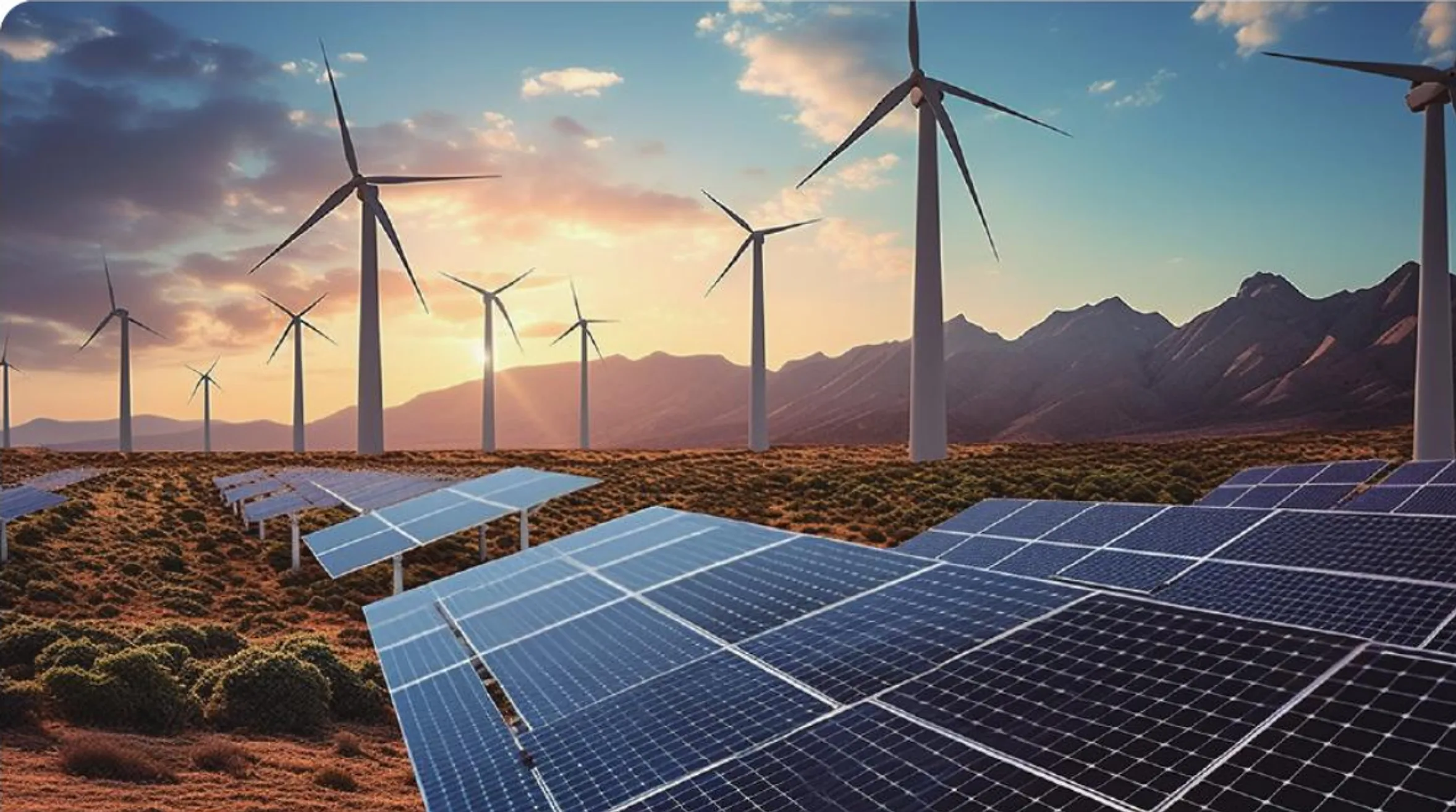
Move ecological protection from spot checks to continuous sensing
Long-endurance drones equipped with thermal and visual payloads support patrols across forests, grasslands, and protected areas. AI can assist with smoke, hotspots, boundary breaches, and vegetation changes, then connect anomalies to mobile command and field response.
- Smoke and hotspot detection
- Protected-area patrol
- Ecological change archive
- Emergency route and resource dispatch
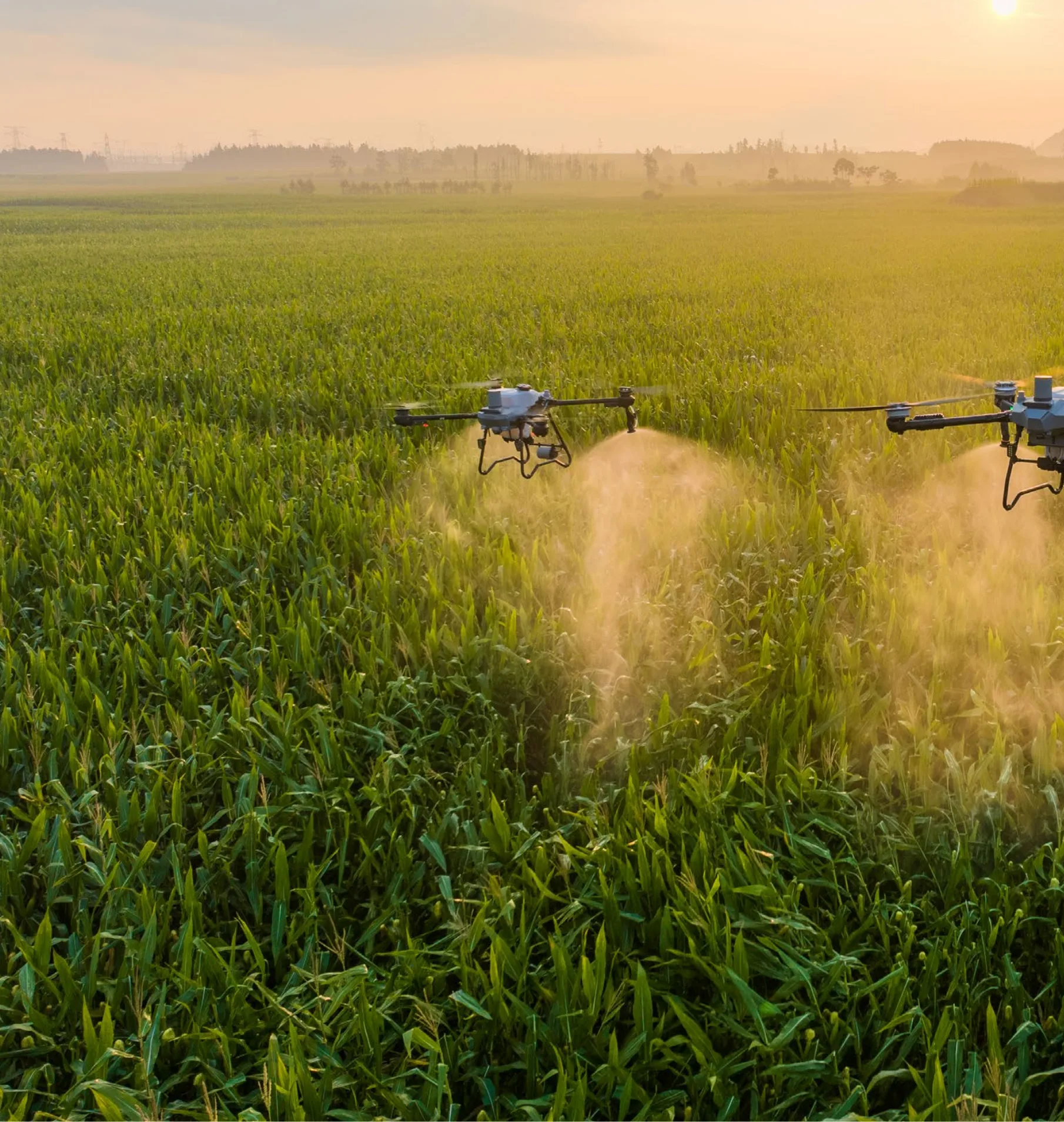
Manage field operations and resource surveys in one mission system
Bring crop inspection, precision spraying, forestry surveys, and disaster assessment into a unified flight-task workflow. Configure routes, payloads, and operating rules by area and mission type, then retain orthophotos, reports, and issue lists for ongoing management.
- Crop condition sensing
- Precision spraying
- Forestry resource survey
- Rapid disaster assessment
How the Solution Lands
From scope and data interfaces to integration testing and acceptance, every project follows a traceable and maintainable delivery path.
Discovery
Map areas, targets, frequency, and payloads
Mission design
Configure routes, access, and collection rules
Data processing
Archive imagery and run AI-assisted review
Issue closure
Connect work orders, response, and rechecks
Project References & Solution Evidence
Based on Hanxing project materials, solution documents, and application scenarios. Sensitive customer information is intentionally omitted from the public site.
Watershed discharge-point inspection
Use drone imagery along priority river reaches to screen suspected discharge points and anomalies, creating baseline data for field verification and remediation.
Adapted from public environmental-drone application references; not a Hanxing customer case
Drone-assisted air-pollution enforcement
Coordinate satellite and drone inspection across industrial sources, urban dust, and construction areas, connecting clues to field verification and remediation assessment.
Adapted from public environmental-drone application references; not a Hanxing customer case
Early forest-fire detection
Combine drones, thermal imaging, AI-assisted review, mobile command, and mission management into an early-detection and response loop.
Prepared with reference to the Al Bahah forest-fire monitoring requirements documentStart Your Digital Transformation Journey
Start with business goals and field constraints, then build an implementable, testable, and maintainable solution.
Contact Us