
Low-Altitude Security & Economy
Counter-drone defense, unified flight management, and low-altitude economy

Background
Low-altitude applications are moving from isolated trials to routine operations at scale. Operators, aircraft, airspace, routes, missions, and field infrastructure need shared rules to balance safety, efficiency, and public-service capacity.
But “no security, no low altitude” — safety is the prerequisite. As drones proliferate, “black flights,” surveillance incidents, airport disruptions, and even terrorism risks grow. How to make low-altitude airspace “flyable, manageable, and serviceable” is a real challenge for every province and city.
Counter-UAV Defense System
Why It’s Needed
Airports, stadiums, energy facilities, government sites — drone intrusions here cause everything from flight delays to security incidents. Traditional manual spotting can’t keep up with growing drone threats.
How It Works
The system covers the full chain: “Detection → Analysis → Interception → Replay”:
- Multi-source detection fusion — Radar discovers targets, electro-optical confirms identity, radio detection locates control links — mutually complementary for zero misses and fewer false alarms
- AI target identification — Automatically distinguishes consumer drones, model aircraft, birds, and other targets, assesses threat levels
- Automated interception — Launches countermeasures (jamming, spoofing, capture) based on threat level, while coordinating security forces
- Full-process recording — Every intrusion event is fully logged for post-incident analysis and strategy optimization
Unified Flight Management Platform
Managing Provincial Low-Altitude Airspace
Developing the low-altitude economy requires not just “defense” but also “management of flight.” From application to takeoff, from flying to landing — each step involves airspace approval, route planning, real-time monitoring, and anomaly handling. Without a unified platform, each step relies on manual coordination — inefficient and risky.
What the Platform Does
- Airspace digitalization — Converts low-altitude airspace from a “vague map” to “computable digital airspace” with automatic safe route planning
- Online flight plan application & smart approval — Operators submit plans online; the system auto-checks airspace conflicts and safety, helping approvers decide fast
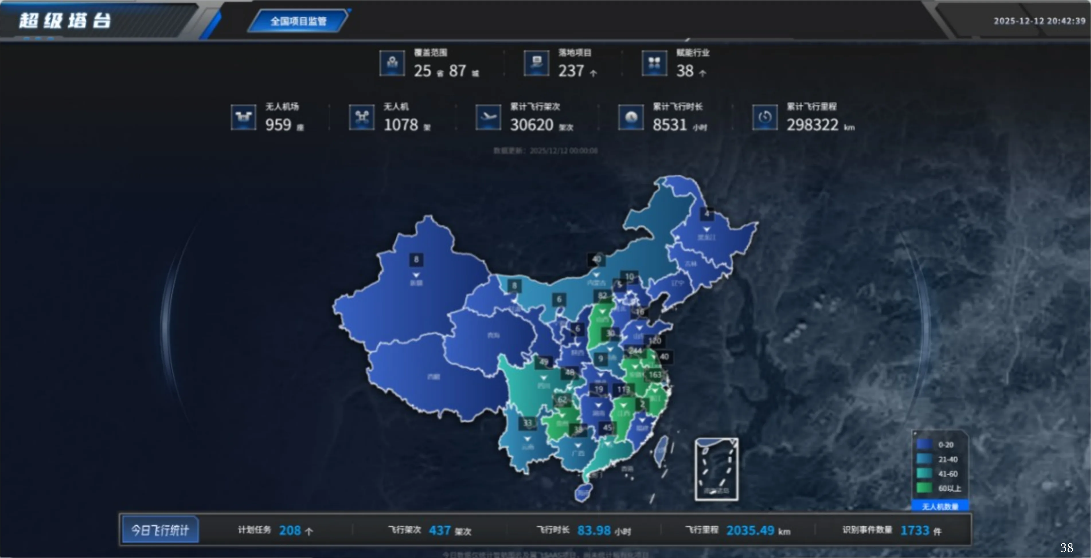
- Full-area real-time monitoring — Integrates drone telemetry, ADS-B, and radar for a single-map view of all airborne targets
- Anomaly alerts & emergency response — Auto-alerts for route deviation, low battery, restricted zone entry — with linked emergency procedures
- Operational data replay — Post-flight reports with flight counts, safety events, and airspace utilization analytics
Low-Altitude Economy Demonstration
Hanxing helps provinces build low-altitude economy demonstration zones — from infrastructure (landing sites, charging, comms) to operational services (flight approval, real-time supervision, data services) — turning the concept into a runnable industry ecosystem.
System & Scenario Evidence

From Field Problems to Executable Scenarios
Platforms, equipment, and data are organized around real workflows, so every capability maps to a concrete operation and delivery outcome.
Detect, identify, and assess before choosing a response
For airports, industrial parks, energy facilities, and major events, radio-frequency sensing, radar, electro-optical feeds, and spectrum data are fused to detect, identify, track, and grade low-altitude targets. Permissions, context, and response plans constrain every action.
- Sensor fusion
- Target identification
- Threat assessment
- Evidence retention
Put applications, plans, monitoring, and review in one workflow
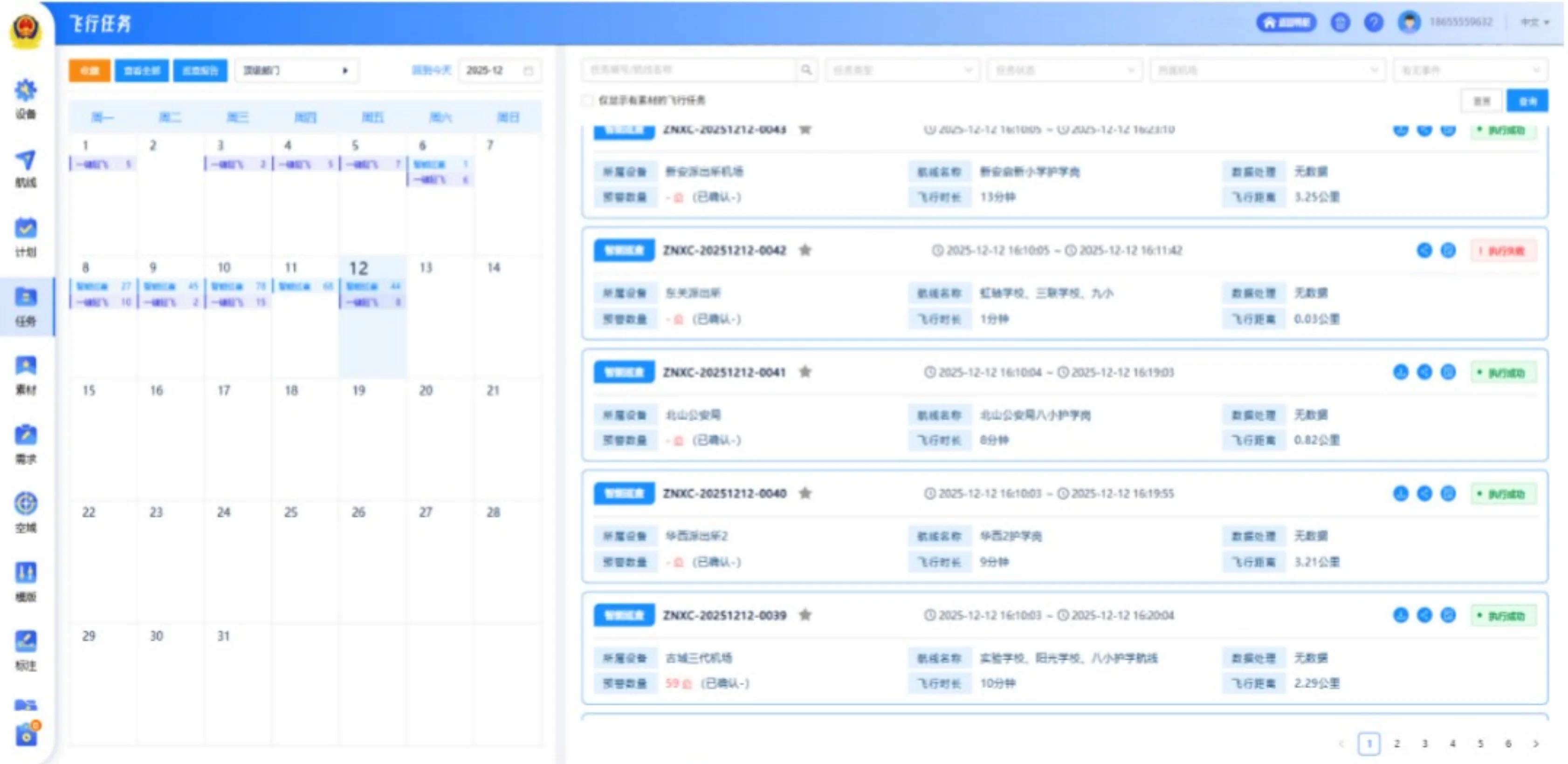
Operators, aircraft, pilots, airspace, routes, and mission plans are governed together across approval, live monitoring, alert handling, and post-flight records. Departments share the same operating picture within their permission boundaries.
- Operator and aircraft records
- Plan approval
- Live monitoring
- Flight archives and analytics
Scale inspection, mapping, and emergency missions
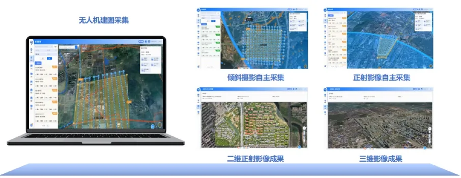
Mission templates define areas, routes, payloads, schedules, and safety rules while docks, aircraft, and field crews work together. Imagery, tracks, alerts, and deliverables are automatically archived as reusable operating assets.
- Route and mission templates
- Dock and device scheduling
- Remote operations
- Automatic archiving
Connect aerial discovery with field response
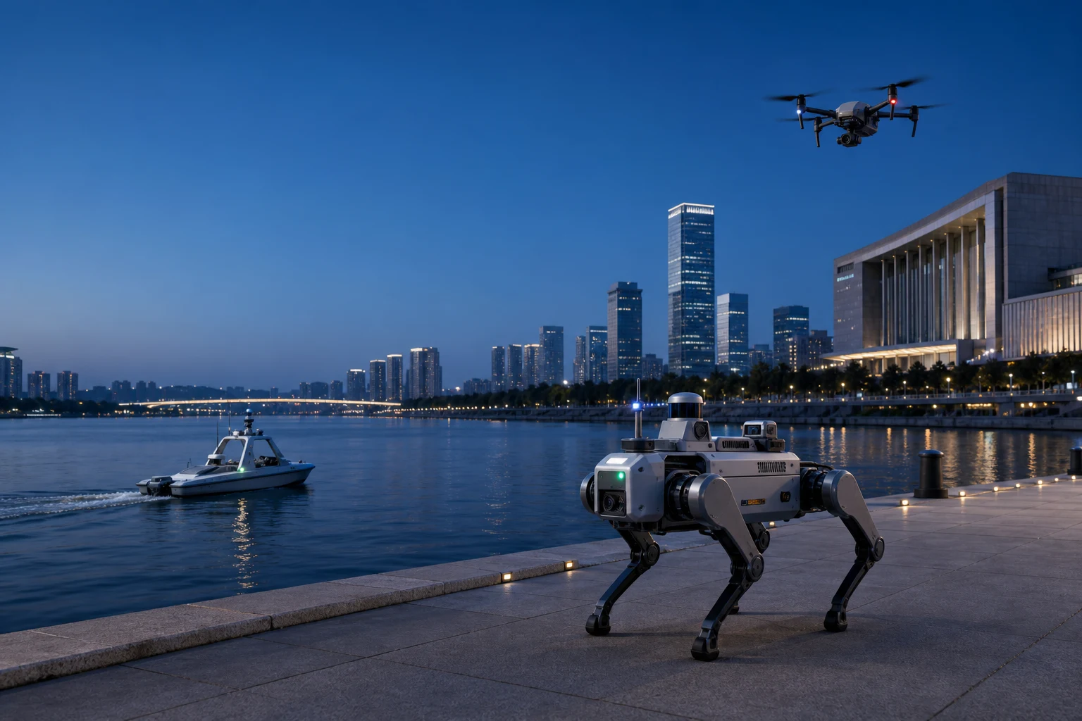
During fires, disasters, security incidents, and major events, drones, robots, vehicles, and mobile command terminals enter one dispatch system. Live field feeds update the operating picture while instructions, positions, and outcomes remain traceable.
- Multi-device access
- Live field video
- Dynamic mission updates
- Air-ground coordination
How the Solution Lands
From scope and data interfaces to integration testing and acceptance, every project follows a traceable and maintainable delivery path.
Airspace discovery
Define area, operators, missions, and safety boundaries
Site and platform design
Configure sensing, communications, docks, and workflows
Integrated trial
Validate devices, alerts, and response plans
Routine operations
Manage missions, people, equipment, and service quality
Project References & Solution Evidence
Based on Hanxing project materials, solution documents, and application scenarios. Sensitive customer information is intentionally omitted from the public site.
Unified flight application platform
Shared operator, aircraft, airspace, plan, and mission records connect flight applications, live monitoring, exception alerts, deliverable archiving, and analytics.
Prepared from Hanxing's unified flight application platform material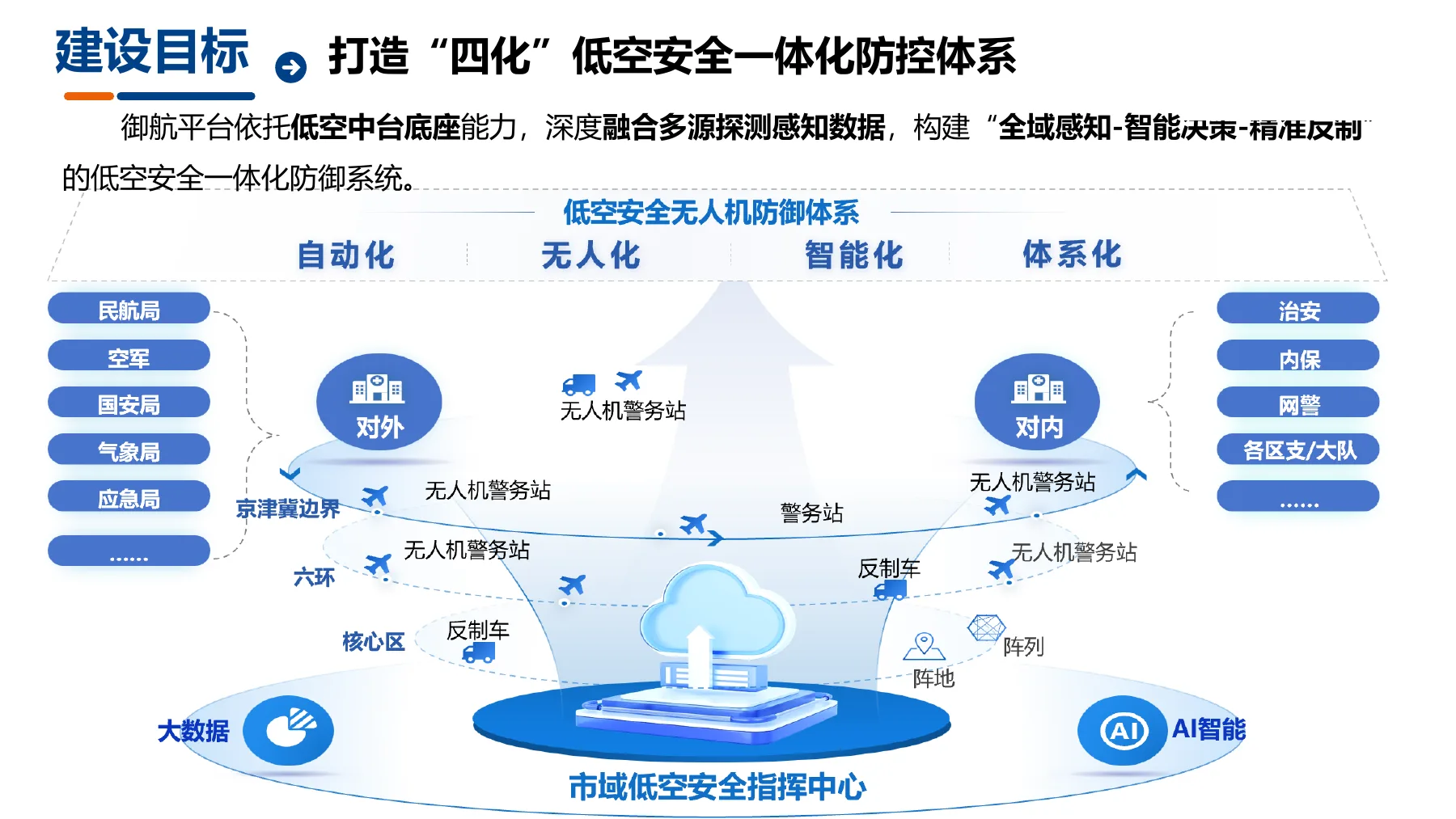
Counter-UAV protection for sensitive areas
Airports, industrial parks, and major events combine detection, identification, tracking, alerts, and authorized response according to scenario-specific risk levels.
Prepared from existing low-altitude security solution material
Urban low-altitude public services
Inspection, emergency response, and mapping missions enter a shared platform, are scheduled within departmental permissions, and continuously build an urban low-altitude operations dataset.
Adapted from public flight-service-platform practices; not a Hanxing customer caseStart Your Digital Transformation Journey
Start with business goals and field constraints, then build an implementable, testable, and maintainable solution.
Contact Us